How AI can help protect us from disasters
By ITU News
Disasters stemming from natural hazards are increasing in both frequency and intensity, reflecting the immediate reality of climate change and prompting a growing succession of humanitarian crises.
Fortunately, new technologies can help detect and prepare for extreme weather and other hazards, as well as communicate to people and communities effectively about the necessary response.
“We are all exposed to natural hazards, and this will worsen in the future,” said Jürg Luterbacher, Director of Science and Innovation of the World Meteorological Organization (WMO), at a recent AI for Good online seminar. “We need to act upon them accordingly.”
WMO has set out, along with the International Telecommunication Union (ITU) and the United Nations Environment Programme (UNEP), to explore the potential of artificial intelligence (AI) to strengthen disaster mitigation worldwide. The three UN agencies last year formed their expert Focus Group on AI for Natural Disaster Management to support global efforts to integrate AI in disaster-management systems.
Recent decades have brought progress in the modelling of natural hazards and disasters, leading to better tools to respond to extreme weather events. One frequently cited case is Cyclone Phailin in eastern India in 2013, when precise numerical model guidance prevented a tragedy of the kind that followed a similar storm 15 years earlier.
Still, there is considerable room for improvement. According to the WMO’s 2020 State of Climate Services report, one in three people in the world is not adequately covered by an early warning system.
Meanwhile, climate and weather turbulence has created dangers for more of the planet, including areas that until recently were not so frequently affected by extreme natural events, noted the United Nations Office for Disaster Risk Reduction at last year’s UN Climate Change Conference (COP26) in Glasgow, UK.
Understanding natural hazards
AI can help response teams understand natural hazards, monitor events in real time, and anticipate specific risks in the face of impending or on-going disasters.
“The more early warning we have, the more prepared we are, and the less will be the humanitarian tragedy”, said Muralee Thummarukudy,Operations Manager at the Crisis Management Branch of the United Nations Environment Programme (UNEP).
While satellites and other current meteorological infrastructures provide valuable information to predict the weather, AI can take the process considerably further. Impact system modelling, for example, can indicate the likely consequences of natural hazards for populations and ecosystems.
“To get value for people, we don’t need just to understand what weather is going to do, but what the weather is going to do to people and to the environment,” said Anthony Rea, Director of WMO’s Infrastructure Department. “This is impact-based forecasting, where I think AI can play a huge role.”
Interoperable and cross-border solutions
The impact of extreme natural events is also defined by socio-economic resilience, with inequalities exacerbating risks and vulnerabilities. Experts stress the need to explore interoperable solutions that can work in different contexts and even across borders to reach areas with less developed disaster infrastructure.
“The impact of natural disasters is exacerbated in certain regions, such as small island developing states and the least developed countries, and for certain populations, such as women and children,”said Monique Kuglitsch, Innovation Manager at Fraunhofer HHI and chair of the ITU/WMO/UNEP Focus Group.
Several case studies show the value of AI during different phases of disaster management: first, prediction and projection; then, to help communicate what has occurred; and in the monitoring and early detection of potential new risks.
The challenge of refining statistical models
A team from Vrije University Amsterdam, in the Netherlands, has examined different statistical models, using data from coastal areas around the world, trying to predict flood risks and storm surges through deep learning methods. In the face of rising sea levels caused by climate change, open data can offer valuable insights into an increasingly vulnerable type of ecosystem.
“The coast has very high concentration of population, assets, activities… Coastal adaptation and management is vital. This is why data is so important,” said Anaïs Couasnon, researcher at the Institute for Environmental Studies (IVM).
Rising global temperatures have also increased the probability of major wildfires in many regions of the world. Ororatech, associated with Germany’s Technical University of Munich, is using satellite imagery for early detection and real-time monitoring of wildfires.
Both projects, however, face a challenge in refining their statistical models when the available data are scarce. In addition, uncertainty – or the margin of error intrinsic to any prediction – can hinder communication with public safety authorities.
Optimising relief resources
A disaster mapping and damage detection system created by a team at the UK’s Lancaster University allows rescue teams to prioritise designated areas in their relief efforts. The platform is powered by crowdsourced labelled data (road blockage, flooded areas, damaged buildings, etc.) marked by volunteers on the ground. This information is used to train the computer vision models in a short period of time.
Researchers at the KIOS Research Center at the University of Cyprus are exploring the use of multi-sourced sensors, sometimes drone-based, using machine learning algorithms to track objects detected from the air.
Anticipating earthquakes and tsunamis
AI can also enhance earthquake detection and tsunami warning using geological information from research centres around the world. Building up reliable datasets for such events is crucial, webinar speakers said.
Wildfires can also be studied in real time and detected earlier based on multi-sourced data.
In a similar spirit, the Zzapp Malaria software uses an algorithm analysing satellite imagery – analysis then reviewed by eyewitnesses – to detect or predict the appearance of water bodies where the disease-causing Anopheles mosquito may grow.
Read the WMO Bulletin on the work of the AI for Natural Disaster Management Focus Group.
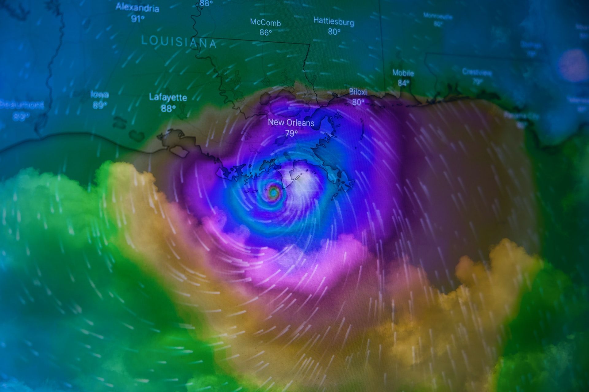
Image credit: Brian McGowan via Unsplash