Space Connect: Space technologies boost humanitarian impact
Satellites boost humanitarian capabilities across the entire disaster-management cycle – from mapping hazards and ensuring early warnings to enabling rapid response and enhancing long-term planning.
Still, national disaster plans may neglect some of the space assets available.
The Space Connect webinar series from the International Telecommunication Union (ITU) recently explored how satellite technologies can boost disaster preparedness, response, relief and recovery. In effect, timely insights from space save more lives on Earth.
© Adobe Stock
UN-SPIDER – the United Nations Platform for Space-based Information for Disaster Management and Emergency Response – helps integrate space-based information into national disaster-readiness strategies.
“We provide targeted capacity building to countries,” said Loránt Czárán, a senior technical advisor at the UN Office for Outer Space Affairs (UNOOSA), which set up UN-SPIDER in 2006. “We are helping them activate various emergency response mechanisms when a disaster strikes.”
UN-SPIDER’s advisory mission in Sri Lanka has turned into a decade-long partnership providing policy advice and technical training.
The country mission has repurposed existing technologies like the global navigation satellite system (GNSS) for precise positioning and route-finding. “We can use that technology, for example, in detecting waves or tsunamis as they develop,” Czárán said.
But coverage gaps remain a concern. Increasing the density of GNSS receivers would help with “collecting data, building baselines in advance.”
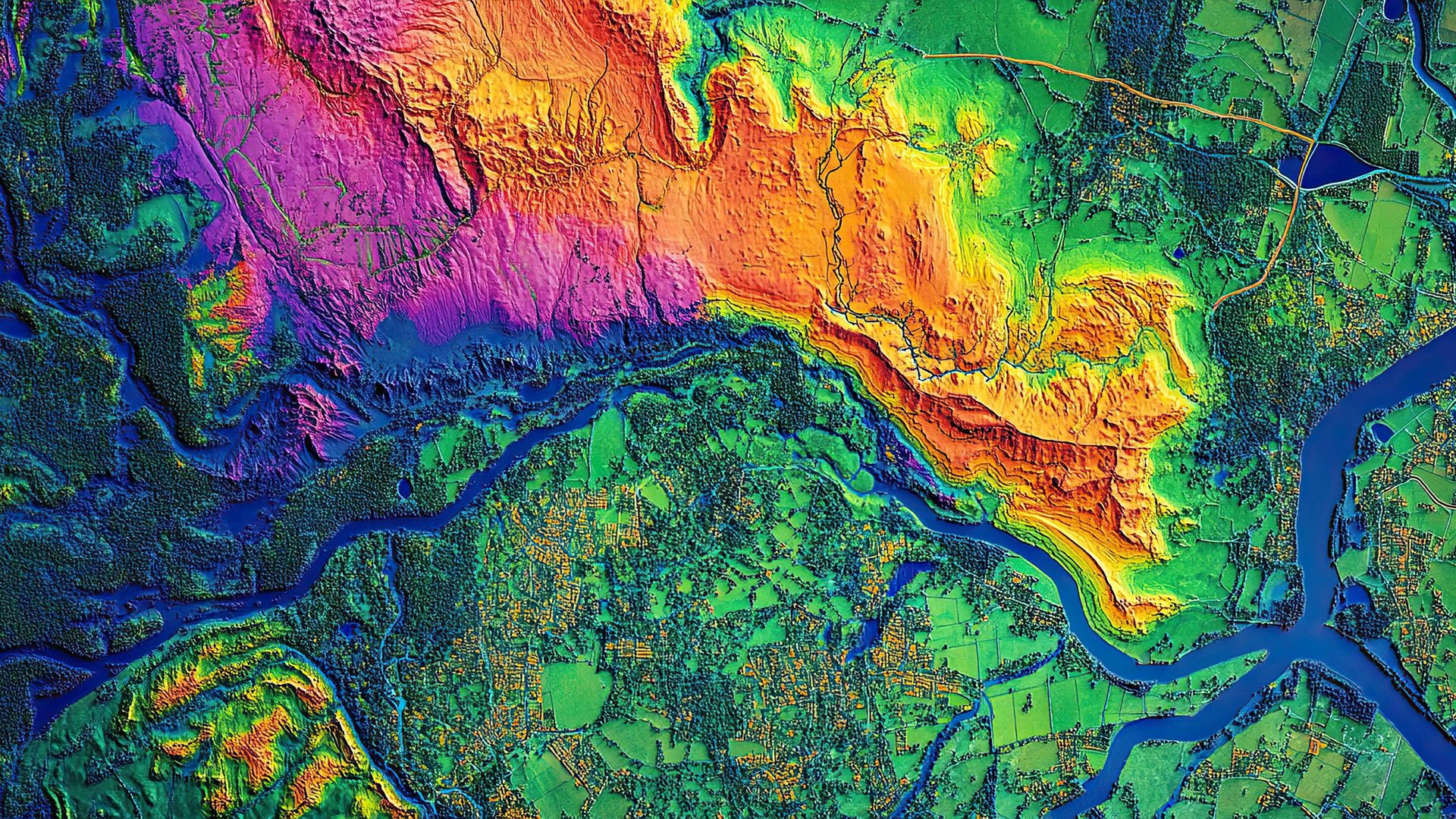
Earth mapping to focus aid
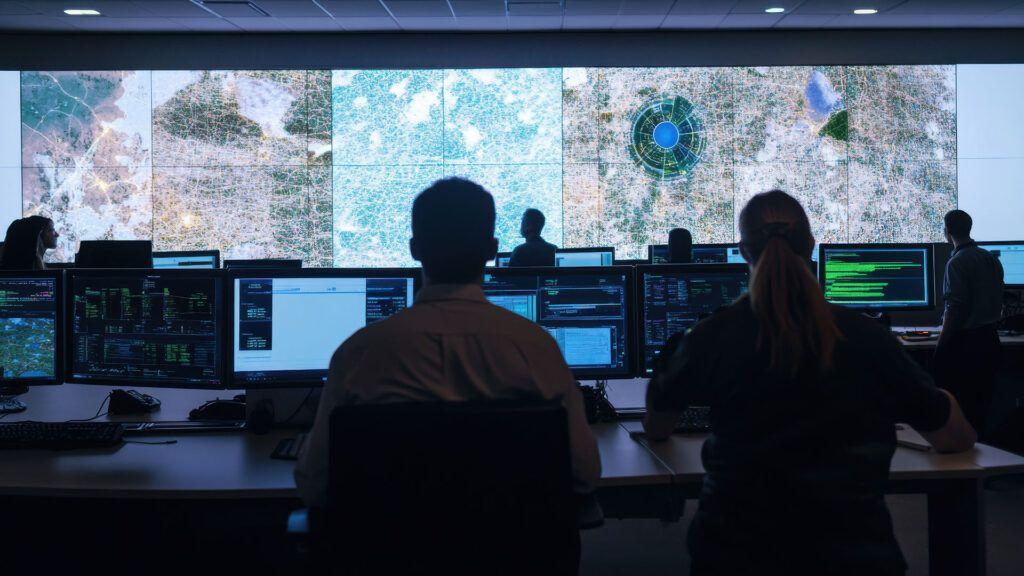
The UN Satellite Centre (UNOSAT) supports countries and humanitarian groups with round-the-clock images and analysis to help mobilize aid rapidly when needed.
Real-time emergency mapping is critical as each disaster situation unfolds.
“We provide 24/7 satellite image analysis to support humanitarian assistance following major disasters and conflict worldwide,” said UNOSAT’s Chief of Disaster Risk Management and Climate Resilience, Luca Dell’Oro.
UN member state or any international humanitarian organization operating in line with UN policies can request the free service, Dell’Oro explained.
Over the past year, UNOSAT responded to 65 activation requests across 43 countries, primarily in Africa and Asia, with 70 per cent of mapping activations coming in response to weather-induced disasters.
When an earthquake struck Myanmar in March, the satellite service received requests from the UN Office for the Coordination of Humanitarian Affairs (OCHA) and the International Federation of Red Cross and Red Crescent Societies (IFRC) to help with satellite image analysis. Dell’Oro says his team assessed building damage city by city and delivered detailed documentation and live-updating online maps.
Satellite support is especially important in the first 24–72 hours, he added.
“Remote sensing is critical in providing timely and reliable information about the situation on the ground, particularly in the most affected and hard to reach areas, especially when humanitarian actors and field teams cannot access those areas.”
Space-based support for terrestrial refugees
For the UN Refugee Agency, UNHCR, satellite imagery enhances longer-term planning in operations to help 122 million forcibly displaced people worldwide.
“We use satellite imagery, space and Earth observations in general to be able to have more evidence-based resource management,” said Rebeca Moreno Jiménez, Lead Data Scientist at UNHCR’s Innovation Service.
Satellite surveillance enables UNHCR to determine “where people have moved from one place to the other, specifically during conflict or in the aftermath of a disaster.”
Governments and humanitarian groups need to share information continuously to reduce duplication and “debunk potential misinformation,” Moreno Jiménez added.
“Everything at the end is about prioritization,” she said. “Resources are not unlimited. Space data helps distribute aid where it’s needed most.”
Satellite data for public health
Earlier in the disaster cycle, remote-sensing data from satellites can enhance public health policy and decision-making to prepare for all kinds of emergency scenarios.
“We can start doing some of the statistical analysis to understand, for example, what’s a risk factor for population displacement in this particular emergency,” said Danielle Poole, Director of Research at the Yale Humanitarian Research Lab.
In one project, Poole’s team used high-resolution imagery to monitor damage to hospitals. If a hospital is in good condition, then humanitarian vaccines can be shipped there. If not, then a different location is needed.
“We have a very high threshold for classifying building damage,” she added. “We want to be very careful that we’re always discussing our results with a high level of confidence – that this is, in fact, a hospital, and that this hospital has, in fact, been damaged.”
Data from satellites can also reveal cholera risks in disaster-affected or displaced communities.
“We can use high-resolution satellite imagery to actually see flooding and standing water that’s close to some of these camps, and even latrines that have been tipped over… which for cholera would be a very, very high-risk situation,” Poole said.
With that kind of data, humanitarian partners know where to send critical supplies like bleach before a major disease outbreak.
Emergency communications
Modern disasters and conflicts disrupt broadcasting and telecommunications. When shutdowns happen, satellites keep vital communications going.
“Connectivity is a key life-saving element, especially, for example, if aid is digitized,” said Moreno Jiménez, noting the value of low Earth orbit (LEO) satellites to reach communities in need of emergency aid. “These new technologies, specifically space-based technologies, enable us to establish connectivity, reliable Internet.”
New humanitarian toolkit
Artificial intelligence (AI) gives humanitarian teams another powerful tool – although on-the-ground human verification remains vital for both AI and satellite data.
UN Space, a coordination group led by UNOOSA, facilitates discussions with the private sector, including satellite operators, on humanitarian applications for new information and communication technologies, Czárán noted.
Instant access to geospatial data, which seemed like “science fiction” five or ten years ago, will soon be the global norm, he said. “Now it’s coming. Now it’s a matter of how we make use of it.”
To learn more, replay Space Connect Episode 6: Space for Humanitarian Emergencies: Leveraging Satellite Technology for Crisis Response.
Future episodes
ITU’s Space Connect series continues exploring critical topics related to space usage, satellite communications and sustainability.
Tell us your top three areas of interest for future Space Connect sessions
The webinar sessions, hosted at ITU headquarters in Geneva, Switzerland, and streamed worldwide, offer insights on how evolving space technologies are shaping future global connectivity and communications.
Learn more about the ITU Radiocommunication Sector (ITU-R).
Header image: Adobe Stock