Earth observation at the frontline of climate action
By Mario Maniewicz, Director, ITU Radiocommunication Bureau
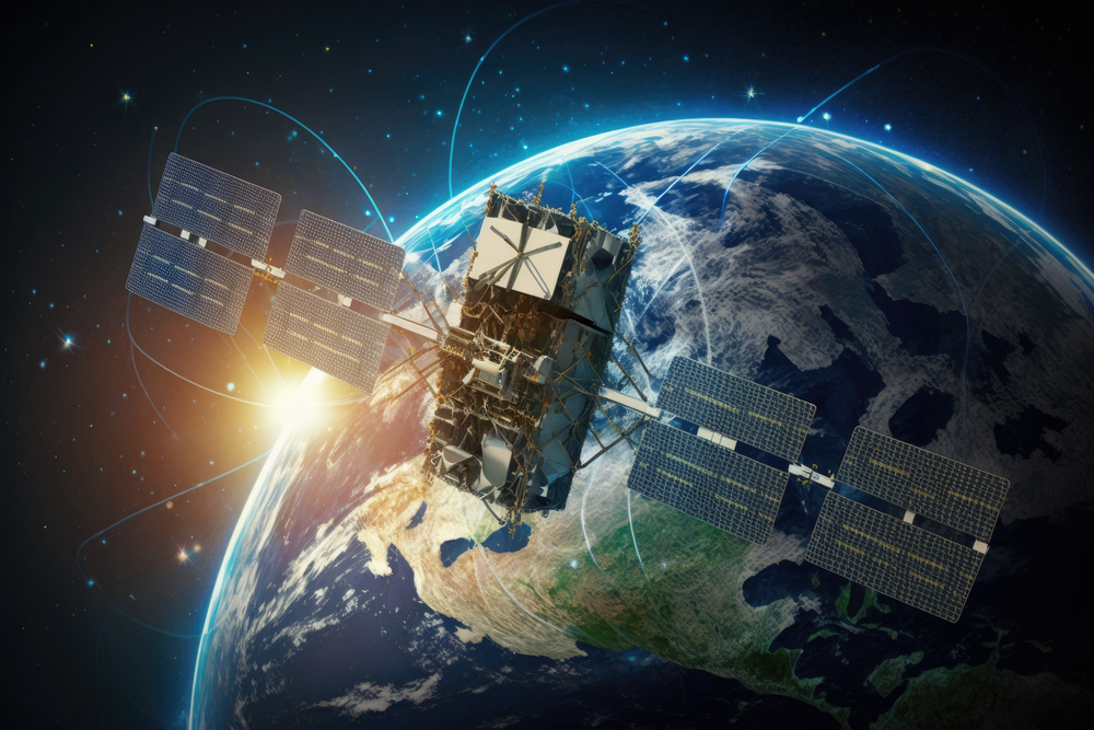
Earth observation satellites have become indispensable in the world’s battle against climate change.
Satellite systems, aided by high-speed Internet access, enable near real-time monitoring of climate patterns, disasters, and environmental changes – vital data to predict and mitigate disasters. Along with enhancing our understanding of climate dynamics, this empowers countries and communities to respond proactively.
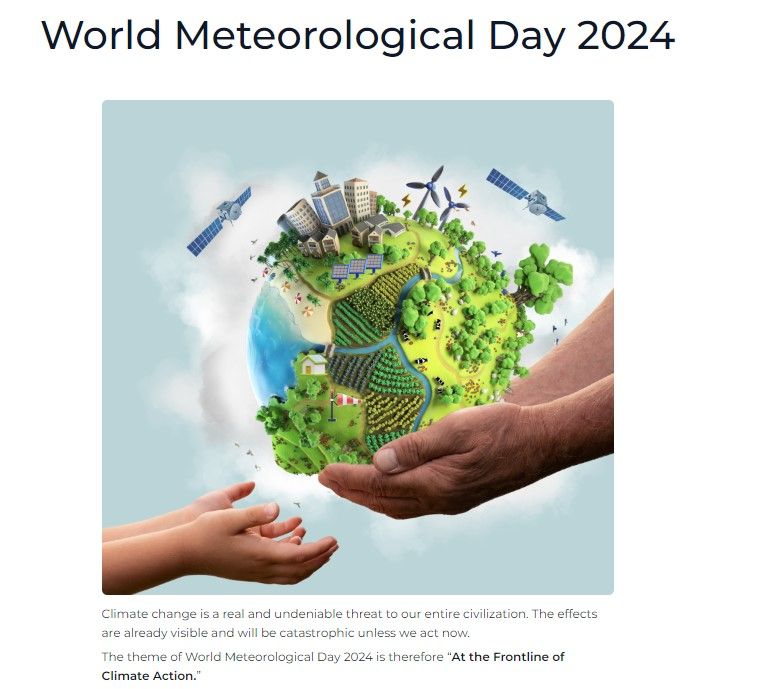
World Meteorological Day – promoted annually by the World Meteorological Organization (WMO) – is dedicated this year to initiatives and tools at the frontline of climate action. The theme echoes the mandate of the International Telecommunication Union (ITU) to safeguard radio frequencies for gathering environmental and climate data.
Over the years, governments and regulators have acted decisively to secure the ability to use Earth exploration-satellite service (EESS) passive bands for weather prediction. Harmful radio interference in this band could compromise accurate weather forecasts when we need them the most.
New radio frequencies allocated
ITU Member States recently confirmed additional radio spectrum for climate monitoring, weather prediction, and other scientific and satellite missions. Decisions at the World Radiocommunication Conference (WRC‑23) also allocated more spectrum for passive EESS to enable advanced ice-cloud measurements.
Additionally, the updated Radio Regulations recognize space weather sensors as part of the key meteorological aid (MetAids) service for observing space weather. Space weather includes such phenomena as solar flares, solar radiation, and geomagnetic storms that can interfere with satellites, mobile phones, and navigation systems.
Radio frequencies for MetAids may be identified at the next World Radiocommunication Conference in 2027, depending on study findings in the meantime.
ITU studies over the next four years will consider possible new primary allocations to MetAids (space weather) in several frequency bands. Research will focus on compatibility and potential frequency sharing between space weather sensors and the systems of incumbent radiocommunication services.
Learn more in ITU News Magazine: Outcomes of the World Radiocommunication Conference 2023.
Why it matters
Broad views of our planet let scientists monitor changes in the climate system over time. From the melting of polar ice caps to the expansion of deserts, Earth-observation satellites offer valuable insights into the evolving dynamics of our environment.
By tracking key indicators like temperature, sea-level rise, and carbon emissions, researchers can better understand the causes, as well as far-reaching consequences, of climate change.
Satellite sensors can detect pollutants, deforestation, and progressive land degradation, providing essential data for conservation efforts. Tracking changes in land use helps policymakers identify areas at risk and develop targeted strategies to protect biodiversity.
Remote sensing and geographic information systems (GIS) also help to safeguard vulnerable communities and fragile ecosystems. Detailed maps and spatial data can indicate imminent disasters such as floods and wildfires, supporting informed decision-making and, if appropriate, triggering early warning systems.
Satellites or sustainable development
Making use of satellite imagery and geospatial information goes hand in hand with the holistic approach at the root of sustainable development. Long-term solutions must range across sectors, from agriculture and water management to urban planning and infrastructure development.
In short, Earth observation gives humanity tools to build a more sustainable future.
Header image credit: Adobe Stock