Geospatial data reveal a changing Earth
By ITU News
Circling above a planet that is increasingly vulnerable to the effects of climate change, Earth observation satellites are helping humanity move towards sustainable development.
High-quality data on the evolution of fragile ecosystems has become crucial to global climate and environmental efforts. Lack of data has often hindered the design of policies to achieve the Sustainable Development Goals (SDGs) set out by the United Nations.
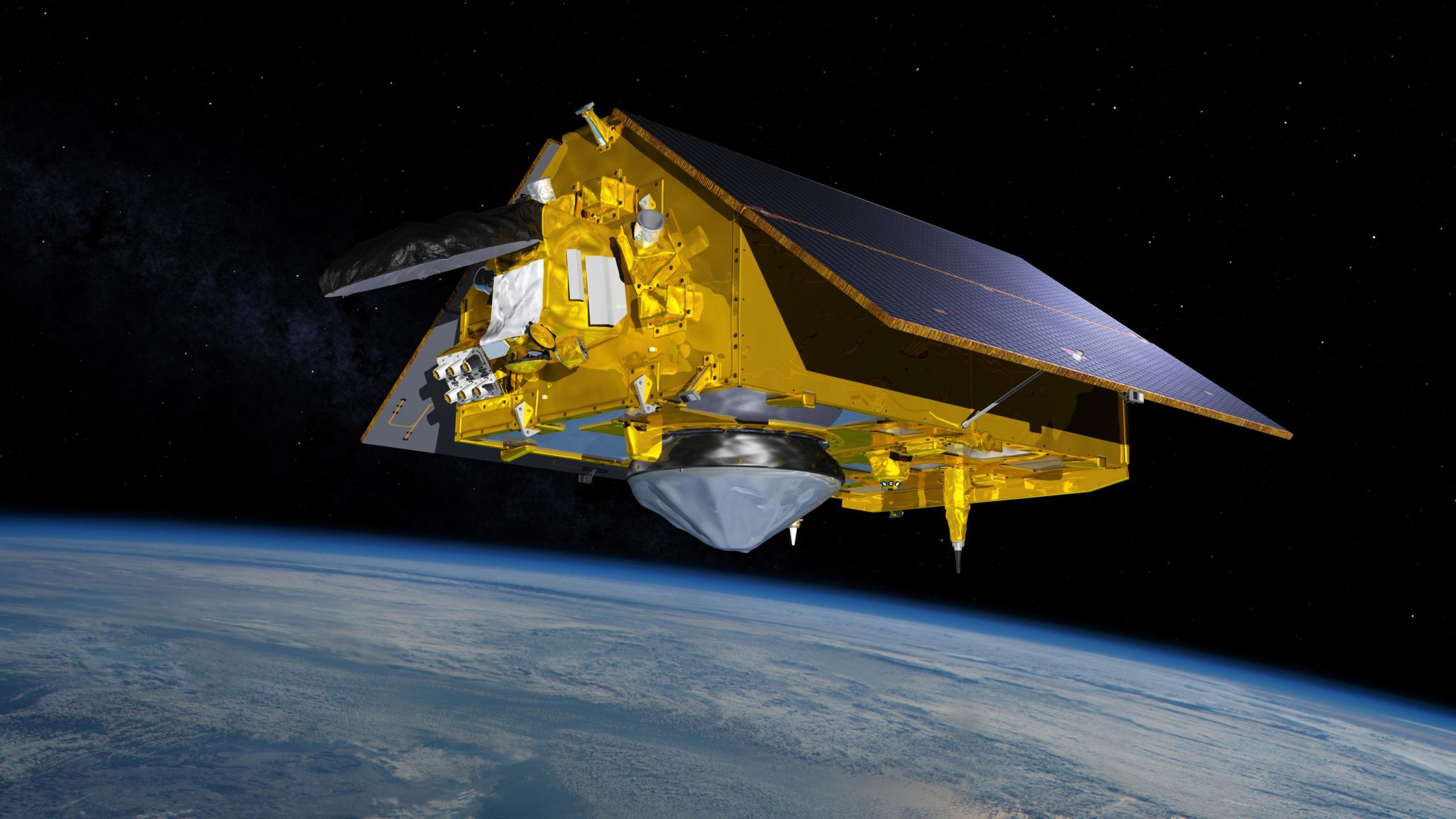
In November 2021, China’s International Research Centre of Big Data for Sustainable Development Goals (CBAS) launched the SDGSAT-1 mission. Dubbed the first scientific satellite for the SDGs, SDGSAT-1 uses thermal infrared, low light-level and multispectral cameras to monitor parameters for land, oceans, the atmosphere, and human activities at a macro level.
The resulting satellite images show changes in cities and natural ecosystems around the world, explained Huadong Guo, Professor at the Remote Sensing and Digital Earth Institute of the Chinese Academy of Science.
This rich data source increasingly informs studies on the consequences and impact of human actions on coastal areas, waterways, and other environments. Among other applications, SDGSAT-1 monitors sea ice fractures caused by rising temperatures in the coldest parts of the world.
“There are more ice leads [narrow fractures in sea ice] in the Arctic than we have ever observed,” warned Guo, in a recent webinar organized by the United Nations Office for Outer Space Affairs (UNOOSA).
Last year, CBAS began offering researchers free and open access to data from the SDGSAT-1. The aim is to foster a multidisciplinary approach in the search for sustainable solutions to global threats.
Sharing resources
Another challenge in leveraging satellite-based Earth observation data lies in achieving smooth cooperation between countries and space agencies.
The Japan Aerospace Exploration Agency (JAXA) has been using its orbiting infrastructure to study terrestrial ecosystems for 25 years. Its projects include analysing changes in forests to measure deforestation, monitoring agricultural land, predicting floods, and measuring their effects on inhabited areas.
When severe flooding hit parts of Pakistan in August 2022, the Japanese agency obtained precise images of how floodwaters were affecting different provinces. A collaboration agreement between government agencies in the Asia-Pacific region enabled JAXA’s imagery to be used for support disaster management.
Still, sharing and using information across borders during an emergency is not easy and can provoke sensitivities, said Ochiai Osamu, a senior engineer in JAXA’s Satellite Applications and Operation Centre.
Mapping air pollution gives rise to similar challenges, especially when measuring the presence of aerosols and greenhouse gases in a territory, Osamu said. As this type of pollution transcends land borders, it needs to be measured and controlled in a “borderless” way.
Consolidated data sources
In working towards achieving the UN agenda for 2030, nations possess widely varying capabilities for the use of space missions and data. In developing countries, particularly, the pooling of efforts and resources between agencies is key to progress towards the SDGs.
Six African countries have recently joined forces on the Africa Development Satellite (AfDevSat) project, aimed at creating a network of satellites to monitor the consequences of climate change on the continent, collect accurate data on water and agricultural resource management, and build resilience to natural disasters.
One of the agencies involved in this partnership is the Kenya Space Agency (KSA). Charles Mwangi, director of KSA’s Space Sector and Technology department, explained the difficulties African countries face in finding consolidated data sources on how terrestrial ecosystems evolve.
AfDevSat aims to fill this gap, while developing the technical and human capacities that will boost the space industry in each participating country. Working within an African Space Agency framework, the project seeks to avoid duplicating existing efforts.
Working with local stakeholders
Cooperation between the most experienced space agencies and their counterparts in the developing world can be another fruitful avenue for data generation. The US National Aeronautics and Space Administration (NASA) is one pillar of the SERVIR global network, an initiative to integrate Earth observation and geospatial technologies and foster self-sufficiency across the Americas, Asia, and Africa.
In the Amazon basin, SERVIR scientists work with government agencies in Ecuador and Peru to improve the prediction of torrential rains and response to extreme weather events. One application monitors river flows and weather conditions in real time.
According to Nancy Searby, program manager for NASA’s Earth Science Applied Sciences Capacity Building Program, transferring data-provision capabilities to local authorities is a major challenge that requires adapting to the needs of each institution. “You really need to understand the local context and know their day-to-day work”, said Searby, stressing the importance of “listening and thinking together” to achieve truly useful and durable solutions.
Image credit: NASA