How observing Earth from space protects our planet
The World Meteorological Organization (WMO), the specialized agency of the United Nations for weather, climate, water and related environmental issues, is dedicated to international cooperation and coordination on the state and behaviour of the Earth’s atmosphere.
This includes its interaction with the land and oceans, the weather and climate it produces, and the resulting distribution of water resources.
Meteorology has made enormous progress in the quality and diversity of weather-forecast services since the launch of the first meteorological satellites in 1957-1958 gave rise to the World Weather Watch (WWW) in 1963.
But current societal challenges — due to the unfolding impacts of climate change — demand further evolution of the Earth-observation network.
These include an upgrade of the global space- and surface-based observing systems and the adoption of a new and integrated approach that incorporates recent scientific and technical advances.
Enhancing the understanding of our Earth system
The WMO Integrated Global Observing System (WIGOS), encompassing both surface and space-based observations, is enhancing the understanding of our Earth system and facilitating the production of weather and climate services and products, through the provision of more and better observations. The observing networks provided by WMO Members form the backbone of WIGOS and the information gathered through these networks is vital for the global community.
WIGOS contributes to ensuring safety of life and property, and in the longer term to implementing global development agendas, such as the 2030 Agenda for Sustainable Development, the Paris Agreement and the Sendai Framework for Disaster Risk Reduction.
The space-based observational capabilities have greatly improved since the launch of the first weather satellites in the early 60s. Today they provide high-precision observations of a wide range of parameters and are a key input for global numerical weather prediction models, underpinning the services of all WMO Members, enabling the protection of life and property. This allows us not only to monitor the weather, climate and water, but also to assess the health of the environment and the extent to which human activities are sustainable.
Recent progress in analysis and forecasts
The impressive progress made in recent years in weather, water and climate analysis and forecasts, including warnings for dangerous weather phenomena (heavy rain, storms, cyclones) that affect all populations and economies, is to a great extent attributable to data provided by the spaceborne component of WIGOS and the assimilation of space-based observations in numerical models.
Spaceborne sensing of the Earth’s surface and atmosphere will continue to play an increasingly important role in operational and research meteorology, disaster monitoring, and in the scientific understanding, monitoring and prediction of climate change and its impacts as well as anthropogenic emissions, critical for the implementation of the Paris Agreement.
Studies have shown that Earth observation can contribute to the measurement of approximately 34 of the indicators linked to the 17 Sustainable Development Goals (SDGs).
The WMO Space Programme works closely with satellite operators in the Coordination Group for Meteorological Satellites (CGMS) and the Committee on Earth Observation Satellites (CEOS) to provide the necessary data and products at the spatial and temporal resolutions required by end users. It also provides guidance for the development of future space-based observing systems which is based on the Vision for the WMO Integrated Global Observing System in 2040, describing the desired space-based observing system capabilities we aim to operate by the year 2040 to fulfil observing and user requirements.
The WMO’s space-based Observing System Capability Analysis and Review Tool (OSCAR/Space) as of October 2020 lists 288 operational satellite platforms contributing to this effort, which will be joined by ever more advanced next-generation satellites over the coming years.
During the ongoing COVID‑19 pandemic situation it has been found that the usually highly automated space-based observing systems have in general so far been more resilient than in-situ based ones.
Radio-frequency bands: An important natural resource for spaceborne sensing
Spaceborne sensing for meteorological applications is performed in specific radio-frequency bands. These bands are determined by fixed physical properties (molecular resonance) that cannot be changed or ignored, nor can these physical properties be duplicated in other bands. Therefore, these frequency bands are an important natural resource.
Even low levels of interference may degrade the data and in most cases the sensors cannot discriminate between natural and man-made radiation.
In the more critical passive sensing frequency bands, the Table of Frequency Allocations in the international Radio Regulations states that “all emissions are prohibited”, enabling in principle the deployment and operation of sensors with the highest reliability.
However, experience has shown that in some cases this protection is jeopardized due to unregulated, and in some cases by mass-market short-range devices allowed nationally to operate in these bands or by unwanted emissions from improperly regulated adjacent bands, putting increasing pressure on the frequency bands used for meteorological purposes.
This presents potential risks of limiting meteorological and other related applications. Ground-based observations and their reliance on specific radiofrequency bands In addition to space-based observations, meteorological radars and wind profilers are important surface-based instruments in meteorological observation processes.
Meteorological radar networks represent the main line of defence in a disaster warning strategy against loss of life and property in flash flood or severe storm events.
In a similar fashion to space-based instruments, these ground-based observations rely on specific radio-frequency bands.
Radio frequencies are therefore critical in terms of remote sensing from both ground-based and space-based observations. However, also of great importance is the availability of sufficient and well-protected radio-frequency spectrum for data relay of some ground-based observations, like radiosondes, and as well as telemetry/telecommand for satellite control and downlink of the collected data.
In this context, Resolution 673 of the 2012 World Radiocommunication Conference (WRC-12) recognizes the value of Earth observation data for the whole international community, and its dependency on radio frequencies. It further resolves to:
- continue to recognize that the use of spectrum by Earth observation applications has a considerable societal and economic value;
- urge administrations to take into account Earth observation radio-frequency requirements and in particular protection of the Earth-observation systems in the related frequency bands; and
- encourage administrations to consider the importance of the use and availability of spectrum for Earth observation applications prior to taking decisions that would negatively impact the operation of these applications.

Some of the current satellites providing observations to WMO Members in support of achieving the Sustainable Development Goals. Image source: WMO.
It is therefore critical that the Earth-observation community works together with the ITU Radiocommunication Sector (ITU–R) with a forward-looking view on radio-frequency matters.
WMO remains committed to ITU and through its Expert Team on Radio Frequency Coordination (ET-RFC) works closely with its members to support ITU in its work to help allocate global radio spectrum. WMO is also an active participant in the World Radiocommunication Conferences (WRCs), such as WRC‑19 held in November 2019.
The ET-RFC is also preparing WMO’s position on the WRC‑23 agenda, which will be further refined in the years leading up to the conference. The protection of the radio frequency spectrum for Earth observation is of the highest priority to WMO and its members and WMO is looking forward to continuing close collaboration with ITU to ensure that we can provide the essential observations in support of sustainable development and in achieving the SDGs.
How satellites contribute to environmental protection and mitigation
Here are just a few examples of how satellites contribute to environmental protection and mitigation in support of the SDGs: global numerical weather prediction (NWP) underpins most application areas within an Earth-system modelling approach integrating all domains including atmosphere, ocean, cryosphere and land.
The WMO Rolling Review of Requirements and the WMO Global Observing System Vision for 2040 provide the guidance and requirements for essential ground-based, in-situ, and satellite observations for a state-of-the-art NWP system.
Today, satellite data from the WMO space-based part of the GOS provide 90 per cent of the data actively assimilated during the initialization of the NWP models with a significant impact on the quality of the NWP forecasts.
The Copernicus Atmosphere Monitoring Service (CAMS) implemented by the European Centre for Medium-Range Weather Forecasting (ECMWF) on behalf of the European Union provides air quality information using satellite and ground-based observations and advanced numerical models. The service also monitors ozone and UV radiation and observes smoke emanating from wildfires. It has also allowed for assessment of the impact of COVID‑19 on air quality in Europe and globally.
The WMO Disaster Risk Reduction (DRR) Programme assists WMO Members in developing and delivering services that are directed at protecting lives, livelihoods and property from natural hazards in a cost-effective, systematic, and sustainable manner. High-impact weather events and climate extremes have been well-documented. For instance, the rapid onset of flash floods has devastating effects throughout the world.
The Global Space Based Observing System operated by CGMS and CEOS Space Agencies are providing data for global flood map products and information, allowing for the detection of floods and flood extent. In response to the need for flash flood early warnings, WMO together with its partners the United States National Weather Service, the Office of U.S. Foreign Disaster Assistance, and the Hydrologic Research Center, have developed and implemented an early warning flash flood forecasting system (Flash Flood Guidance System — FFGS) for global application. This is especially important when climate pressures, resulting in more severe precipitation events and rising ocean levels, contribute to more frequent and pervasive flash floods and coastal flooding.
Satellites also provide information and tools to support wildfire management at varying geographic scales as well as assessing fire effects at global level.
Recently, exceptional and prolonged heat in Siberia has fuelled unprecedented Arctic fires, with high carbon emissions, contributing to the already complex climate situation.
Again, it is CAMS that incorporates observations of wildfires from the MODIS instruments on NASA’s Terra and Aqua satellites into its Global Fire Assimilation System (GFAS) to monitor fires and estimate the pollution that they emit. Another service addressing wildfires is the Global Observation of Forest Cover-Global Observation of Land Dynamics (GOFC-GOLD) Fire Implementation Team (GOFC Fire IT) contributes to the Global Wildfire Information System (GWIS).

Satellite images from Europe’s Sentinel 3 taken in July 2020 showed that the wildfires affecting Siberia inside and outside the Arctic Circle cover a width of about 800 kilometres. Image source: WMO.
Countries in the Asia-Pacific region are increasingly affected by tropical cyclones. The China Meteorological Administration (CMA) and the Japan Meteorological Agency (JMA) provide so-called request-based high frequency regional observation, which can also provide useful information for other extreme events such as heavy rain, severe convection, forest or grassland fire and sand or dust storms.
These observation services are frequently used by the WMO Regional Specialized Meteorological Centres with the activity specialization in tropical cyclones and WMO Tropical Cyclone Warning Centres, for example, to track the path of cyclones over the open water.
Tracking ocean climate change with satellites
Satellites also play a major role in tracking the impact of the changing climate on our oceans. Today, space-based climate data records cover 37 of the 54 Essential Climate Variables defined by the Global Climate Observing System (GCOS) — a programme co-sponsored by WMO, the Intergovernmental Oceanographic Commission of UNESCO, United Nations Environment Programme (UNEP) and International Science Council.
For example, a range of satellite altimetry missions have helped us to track the mean sea level rise over the past decades.
The space-based observations cited in the above examples use active and passive instruments that rely on measuring minute changes in specific bands of the radio-frequency spectrum. It is therefore of paramount importance that these bands are protected and remain free from interference.
This article first appeared in ITU News Magazine – Space science for achieving the Sustainable Development Goals. Read the full issue here.
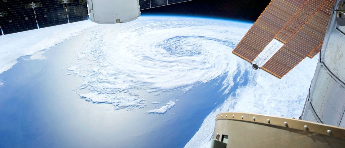
Header image credit: SpaceX via Pexels