
Page 55 - U4SSC Factsheet, Mashhad, Iran (Islamic Republic of), September 2021
P. 55
Spatial Data infrastructure
Mashhad has implemented several projects related to using and maintaining the spatial data of
the city. Spatial data can be key for knowing where assets within the city are located, and can also
be used to record various maintenance and repair activities. Base map services are provided for
all urban applications.
Up-to-date data are provided by using new methods of data collection:
• Ground-penetrating radar (GPR)
• Real-time kinematic positioning (RTK)
• Unmanned autonomous vehicles (UAV)
Ground-penetrating radar
Ground-penetrating radar (GPR) is a geophysical method that uses radar pulses to image the
subsurface. It is a non-intrusive method of surveying the subsurface to investigate underground
utilities such as concrete, asphalt, metals, pipes, cables or masonry. This non-destructive method
uses electromagnetic radiation in the microwave band (UHF/VHF frequencies) of the radio spectrum,
and detects the reflected signals from subsurface structures. GPR can have applications in a variety
of media, including rock, soil, ice, fresh water, pavements and structures. In the right conditions,
practitioners can use GPR to detect subsurface objects, changes in material properties and voids
and cracks.
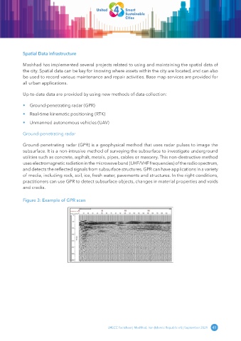
Figure 3: Example of GPR scan
U4SCC Factsheet | Mashhad, Iran (Islamic Republic of) | September 2021 49