
Interactive Sentinel-1 Flood Modeling Tool
Project Summary
Problem:
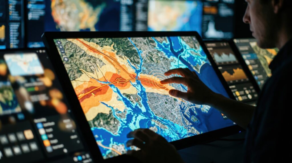
Flood extent mapping is essential for disaster response, and putting additional flooding mapping tools in front of government, NGOs, and other disaster response groups is essential for understanding where flooding is occurring at any given time. The solution would involve creating an interactive web app allowing end users to visualize raw sentinel-1 imagery from Microsoft Planetary Computer and run flood model inference on selected areas using the Microsoft AI for Good flood extent model. Additional data sources such as the Copernicus GFM could also be included, allowing a comprehensive view of raw imagery and multiple flood extent models.
Additional layers would include: historical flood extent map from the AI for Good model and data repository, land cover maps and population density maps to show the net impact of flooding.
Solution:
Interactive webapp that let’s you select Sentinel-1 data tiles from Microsoft Planetary Computer and run the Micorosft AI for Good flood detection model.
Technical Requirements:
Web server for the web site (cost could be covered by AI for Good azure credits)
Operational Environment:
Rural
Coastal
Inland
Licensing or Cost Structure:
Open-source, free-to-use, minimal compute required
Ethical and Governance Considerations:
No personal data is collected. Transparency is assured through the model’s exclusion mask, which shows where detection may not be reliable, and showing the underlying SAR data in the tool.
The model has also undergone review from Microsoft responsible AI.