Value of Earth observations and geospatial technologies for climate action and measuring the SDGs
World Geospatial Industry Council
Session 471
Virtual Panel Organized by WGIC
World Geospatial Industry Council (WGIC) is pleased to present a virtual session demonstrating the value of Earth observations and geospatial technologies for climate action and measuring the UN Sustainable Development Goals (SDGs).
Earth observations and geospatial technologies are essential across a broad spectrum of society, including social, economic, and ecological aspects. These technologies can assist policymakers, international organizations, and for-profit and not-for-profit organizations. With a focus on areas such as climate adaptation, mitigation, and measuring progress toward achieving the SDGs, the role of these technologies is becoming more critical.
WGIC, along with its Members and the United Nations Committee of Experts on Global Geospatial Information Management (UN-GGIM), will organize the panel discussing the following aspects:
- Explore the growing significance of Earth observations and geospatial technologies.
- Share impactful use cases related to climate change and the SDGs.
- Provide insights on how stakeholders in the audience can leverage the technologies.
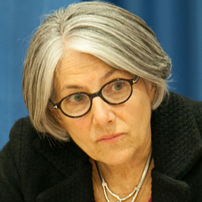
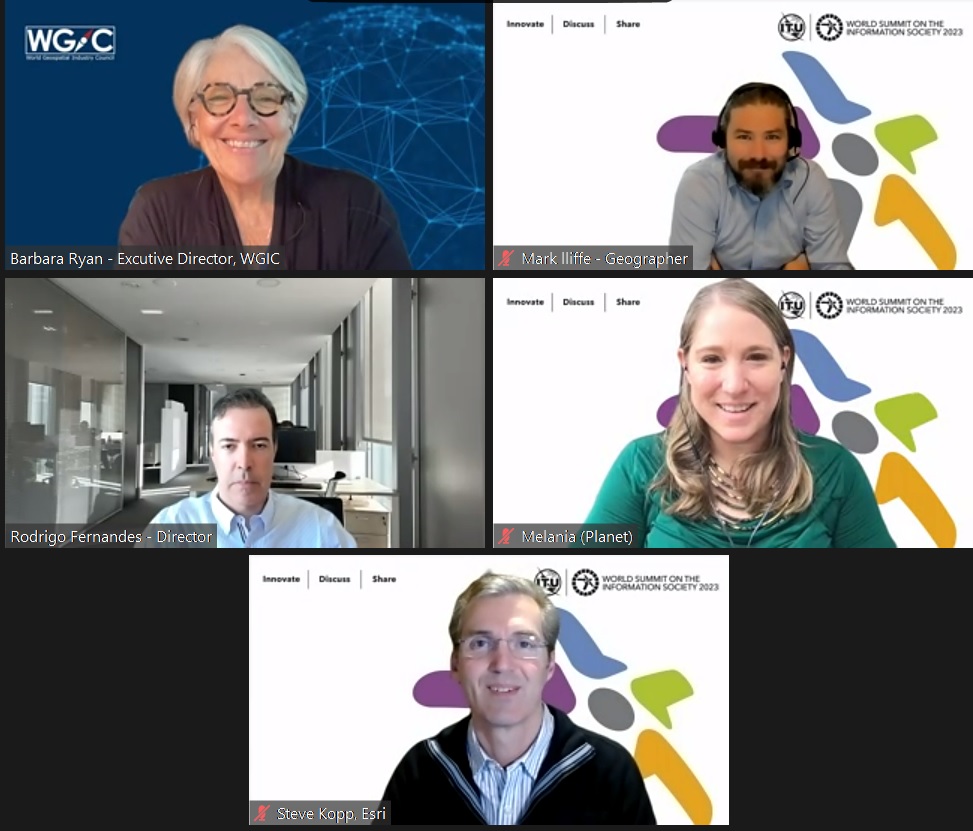
Under Barbara's leadership, millions of satellite images have been made available to the general public at no charge, allowing scientists, planners and policy makers to make better-informed decisions on environmental problems. Barbara's career began in 1974 at the USGS. From 2008 to 2012, she was Director of the WMO Space Programme, and from 2012 to 2018, Ryan was the Secretariat Director of GEO in Geneva, Switzerland. In January 2021, Barbara became the Executive Director of the World Geospatial Industry Council (WGIC), a global not-for-profit trade association of private-sector companies working in the geospatial and Earth observation ecosystem.

Rodrigo Fernandes is director of ES(D)G (Empowering Sustainable Development Goals) in Bentley Systems, leading the company’s sustainability business strategy and initiatives. Rodrigo’s charter is to empower sustainable development goals through Bentley software and services, evangelize Bentley’s handprint, and advocate for a sustainability culture.
In his previous role at Bentley, he worked as a senior consultant and project manager on the Water Infrastructure Team and then as a business development / environmental industry expert for Acceleration Team and Digital Cities.
Working many years in the environmental engineering industry in R&D and the private sector, he also served as an external expert for the Portuguese Ministry of the Sea and for the European Commission and where he was also a European Climate Pact Ambassador.
He has a Ph.D. in Environmental Engineering and has designed and managed over 20 European innovation projects on modeling water resources and environmental safety issues, authoring +30 peer-reviewed papers.

Steve Kopp has more than 3 decades of experience creating and applying GIS and image analysis tools in the Earth sciences, water resources, and climate risk. As part of the Spatial Analytics and Data Science development team he is active in evaluating and incorporating new analysis methods into ArcGIS. He is a science technology advisor to governments, NGOs, and organizations working toward more efficient and sustainable resource utilization. He is the author of numerous book chapters, journal articles, white papers, and presentations on geographic science, as well as software user guides and educational materials.
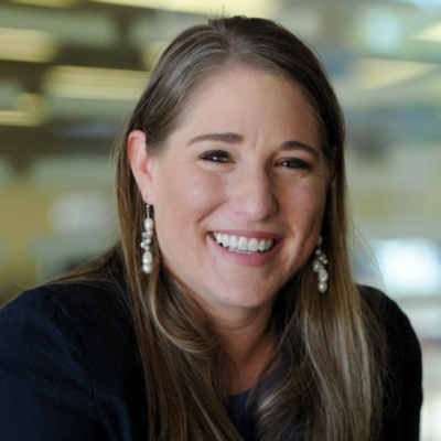
Melania Guerra is the Director of Science Strategy at Planet, a Public Benefit Corporation that designs, builds and operates a constellation of ~200 Earth Observation satellites that image the entire planet on a near daily basis at 3-4 meter resolution. In this role, she leads Planet’s engagement with the Earth sciences community in academia, research centers and space agencies across the EMEA region, facilitating the application of Planet’s high-cadence, high-resolution satellite imagery to the production of scientific knowledge. Previously, she was part of the Costa Rican diplomatic delegations in multilateral climate and ocean negotiations and an Adjunct Professor of climate governance at the UN University for Peace. Melania holds a Bachelor's in Mechanical Engineering from the University of Costa Rica, a Master's and Ph.D. in Oceanography from the University of California San Diego and a Master's in Public Policy from Princeton University.
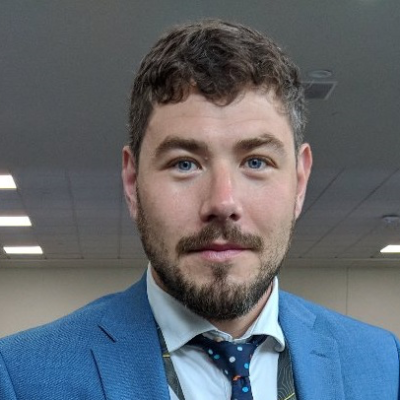
Mark Iliffe is a Geographer within the Global Geospatial Information Management Section of the United Nations Statistics Division (UNSD). The section provides Secretariat support to the United Nations Committee of Experts on Global Geospatial Information Management (UN-GGIM). UN-GGIM was established by the UN Economic and Social Council (ECOSOC) as the apex intergovernmental mechanism for making joint decisions and setting directions with regard to the production, availability, and application of geospatial information within national, regional, and global policy frameworks, such as the 2030 Agenda for Sustainable Development and the Sustainable Development Goals (SDGs). Before joining UNSD, he worked for the World Bank supporting government programmes across Africa on geospatial capacity development, statistical and geospatial integration, remote sensing, and urbanization. Academically, he holds a PhD in Geography from the University of Nottingham, United Kingdom.
-
 C7. ICT applications: benefits in all aspects of life — E-government
-
 C7. ICT applications: benefits in all aspects of life — E-environment
-
 C7. ICT applications: benefits in all aspects of life — E-agriculture
-
 C7. ICT applications: benefits in all aspects of life — E-science
Strong Linkages to WISIS Action Lines are seen under 'ICT applications: benefits in all aspects of life.' Governments, the commercial sector, multi-lateral, and non-profits rely on earth observation and geospatial technologies in applications related to E-agriculture, E-environment, and e-governance.
-
 Goal 6: Ensure access to water and sanitation for all
-
 Goal 7: Ensure access to affordable, reliable, sustainable and modern energy for all
-
 Goal 9: Build resilient infrastructure, promote sustainable industrialization and foster innovation
-
 Goal 11: Make cities inclusive, safe, resilient and sustainable
-
 Goal 13: Take urgent action to combat climate change and its impacts
-
 Goal 14: Conserve and sustainably use the oceans, seas and marine resources
-
 Goal 15: Sustainably manage forests, combat desertification, halt and reverse land degradation, halt biodiversity loss
