
Page 133 - ITU Journal Future and evolving technologies Volume 2 (2021), Issue 4 – AI and machine learning solutions in 5G and future networks
P. 133
ITU Journal on Future and Evolving Technologies, Volume 2 (2021), Issue 4
Table 1 – Other publicly available RT datasets.
Frequency
Dataset name Data Types Environment File format
(GHz)
ViWi [13] Image, depth‑map, wireless channel, and user location Outdoor 28 and 60 Matlab, JPEG
DeepMIMO [25] Wireless channel parameters Indoor and Outdoor 2.5, 3.5, 28, and 60 Matlab
Map‑based channel model [1] Wireless channel parameters Indoor and Outdoor 28 Matlab
its widespread use [1]. This section summarizes two im‑ impact the quality of the channels [29], making this as‑
provements toward more realistic datasets for AI/ML in‑ signment manually a time‑consuming and laborious pro‑
volving MIMO channels. More details can be found in [16]. cess, and usually results in few materials being actually
adopted. To optimize this procedure, the next paragraphs
The irst improvement compared to previous versions of describe ongoing research to develop a methodology to
the Raymobtime methodology is the correction of the ori‑ automatically assign such materials to 3D objects via se‑
entation of the antenna arrays mounted on moving vehi‑ mantic segmentation with deep neural networks.
cles, so that the array follows the direction of the vehi‑
cle. As mobile objects (vehicles, people, etc.) move in the
virtual world, previous versions of Raymobtime datasets
were not updating the orientation of the antenna array.
The other improvement is the simulation of antenna ar‑
rays inside the RT software. Previous versions of Ray‑
mobtime always considered omnidirectional antennas in‑
side the RT simulation. This procedure is called here Sin‑
gle Input, Single Output RT (SISO‑RT). MIMO channel ma‑
trices are obtained during post‑processing with the use
of the geometrical channel model [27]. This approach re‑
ducesprocessingtimeandmakethedatasetmore lexible,
as the user can de ine the desired antenna arrays for all
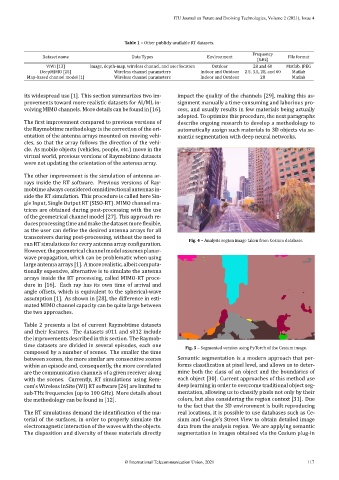
transceivers during post‑processing, without the need to Fig. 4 – Analysis region image taken from Cesium database.
run RT simulations for every antenna array con iguration.
However, the geometrical channel model assumes planar‑
wave propagation, which can be problematic when using
large antenna arrays [1]. A more realistic, albeit computa‑
tionally expensive, alternative is to simulate the antenna
arrays inside the RT processing, called MIMO‑RT proce‑
dure in [16]. Each ray has its own time of arrival and
angle offsets, which is equivalent to the spherical‑wave
assumption [1]. As shown in [28], the difference in esti‑
mated MIMO channel capacity can be quite large between
the two approaches.
Table 2 presents a list of current Raymobtime datasets
and their features. The datasets s011 and s012 include
the improvements described in this section. The Raymob‑
time datasets are divided in several episodes, each one Fig. 5 – Segmented version using PyTorch of the Cesium image.
composed by a number of scenes. The smaller the time
between scenes, the more similar are consecutive scenes Semantic segmentation is a modern approach that per‑
within an episode and, consequently, the more correlated forms classi ication at pixel level, and allows us to deter‑
are the communication channels of a given receiver along mine both the class of an object and the boundaries of
with the scenes. Currently, RT simulations using Rem‑ each object [30]. Current approaches of this method use
com’s Wireless InSite (WI) RT software [26] are limited to deep learning in order to overcome traditional object seg‑
sub‑THz frequencies (up to 100 GHz). More details about mentation, allowing us to classify pixels not only by their
the methodology can be found in [12]. colors, but also considering the region context [31]. Due
to the fact that the 3D environment is built reproducing
The RT simulations demand the identi ication of the ma‑ real locations, it is possible to use databases such as Ce‑
terial of the surfaces, in order to properly simulate the sium and Google’s Street View to obtain detailed image
electromagnetic interaction of the waves with the objects. data from the analysis region. We are applying semantic
The disposition and diversity of these materials directly segmentation in images obtained via the Cesium plug‑in
© International Telecommunication Union, 2021 117